What You Need to Know
Benin is a small but influential nation in West Africa, known for its political stability, rich cultural heritage, and historic role in the region’s past and present. Bordering Nigeria and opening onto the Gulf of Guinea, Benin has long served as a crossroads of trade, ideas, and culture. Today, the country is focused on democratic governance, economic modernization, and positioning itself as a regional logistics and tourism hub.
Benin at a Glance
Capital: Porto-Novo
Population: ~13–14 million
Official Language: French
Government: Presidential republic
Economy: Agriculture- and services-led, with growing logistics and tourism sectors
Key Strengths: Political stability, port access, cultural heritage, regional trade links
Regional Role: Gateway between coastal West Africa and landlocked neighbors
Why Benin Matters
Benin stands out in West Africa for its relative political stability and peaceful democratic transitions. Its strategic location next to Nigeria—Africa’s largest economy—gives Benin outsized importance in regional trade and logistics. With sustained investment in ports, transport corridors, and cultural industries, Benin offers a model of steady, pragmatic development in a complex regional environment.
Geography and Location
Benin is located in West Africa, bordered by the Atlantic Ocean to the south, Nigeria to the east, Togo to the west, and Burkina Faso and Niger to the north. Despite its relatively small size, the country spans coastal lagoons, fertile plains, and savannah landscapes in the north.
The southern coast is the economic heart of the country, home to major cities such as Cotonou and Porto-Novo. Northern regions are more rural and agricultural, with protected natural areas that support biodiversity and eco-tourism.
People and Society
Benin has a population of approximately 13–14 million people and is home to a diverse range of ethnic groups, including the Fon, Yoruba, Bariba, and Adja communities. This diversity is reflected in the country’s languages, traditions, and cultural expressions.
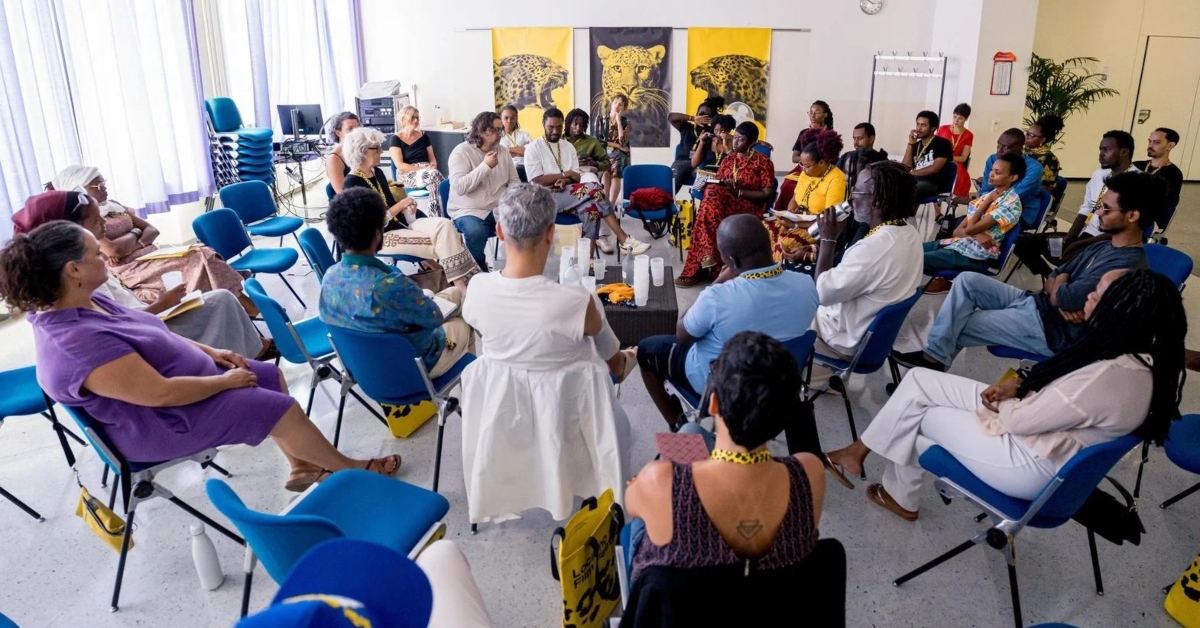
French is the official language, while many local languages are widely spoken in daily life. Religious practice is pluralistic, with Christianity, Islam, and traditional belief systems coexisting. Benin is widely recognized as the birthplace of Vodun, which remains an important cultural and spiritual tradition.
A Brief Historical Context
The territory that is now Benin was once home to powerful pre-colonial states, most notably the Kingdom of Dahomey, known for its centralized governance and strong military traditions. These kingdoms played a major role in regional politics and trade.
From the 17th to the 19th centuries, the area became a focal point of the transatlantic slave trade, with coastal ports serving as major departure points. This history left a deep and lasting imprint on the country’s collective memory and cultural identity.
Benin came under French colonial rule in the late 19th century and gained independence in 1960. After periods of political instability, the country transitioned to a democratic system in the early 1990s. Since then, Benin has been recognized for relatively stable governance and peaceful political change.
Government and Politics
Benin is a presidential republic with a strong executive branch and a unicameral parliament. It is often cited as one of West Africa’s more stable democracies, though recent political reforms and electoral changes have sparked debate about civic space and political competition.
The government continues to emphasize institutional stability, public-sector reform, and economic governance as central pillars of national development.
Economy: Trade, Agriculture, and Services
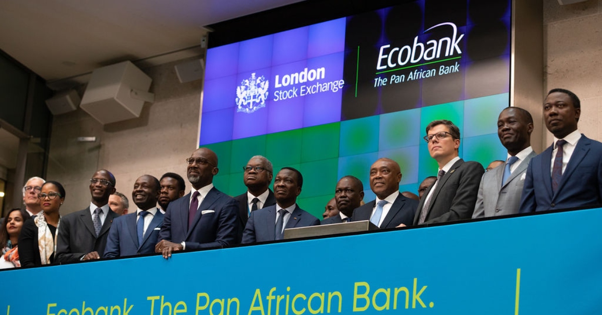
Benin’s economy is driven by agriculture, trade, and services. Cotton remains a major export and a key source of income for rural communities, while trade—both formal and informal—with neighboring Nigeria plays a significant role in economic activity.
In recent years, the government has invested heavily in port modernization, transport infrastructure, tourism development, and public administration reforms. These efforts aim to position Benin as a reliable regional gateway for trade and investment in West Africa.
Trade, Diplomacy, and Regional Influence
Benin is an active member of the Economic Community of West African States and the African Union. Its port facilities and transport corridors serve landlocked countries such as Niger and Burkina Faso, reinforcing Benin’s role as a regional logistics hub.
The country plays a constructive diplomatic role in regional cooperation, trade facilitation, and political dialogue.
Tourism and Cultural Heritage


Benin is emerging as a cultural and eco-tourism destination. Key attractions include the Royal Palaces of Abomey, the stilt village of Ganvié on Lake Nokoué, and the historic Route of Slaves in Ouidah.
In the north, Pendjari National Park—part of the larger W-Arly-Pendjari complex—offers some of West Africa’s most important wildlife habitats, including elephants, lions, and antelope.
Safety and Travel Considerations
Travel conditions vary by region. Southern cities and major tourist sites are generally accessible, while parts of the northern border areas require increased seeing due to regional security concerns. Travelers are advised to follow official guidance and rely on experienced local operators, particularly when visiting remote regions.
Culture and Daily Life
Beninese culture is deeply rooted in tradition, music, dance, and community life. Festivals, markets, religious ceremonies, and craftsmanship play a central role in everyday life, reflecting the country’s rich cultural diversity.
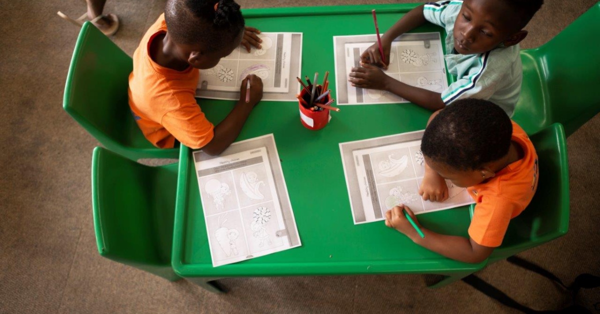
Education and literacy levels have improved steadily, and urban centers are seeing growing engagement in entrepreneurship and the creative industries.
Sports and National Identity
Football is the most popular sport in Benin and an important source of national pride. The national team, known as the Squirrels, regularly competes in regional and continental competitions, bringing together fans across the country and the diaspora.
 Board Appoints Mr. Emmanuel Assiak as Chief Executive Officer")

 Dr. Rasha Kelej together with Kenya First Lady support the education of 47 Kenyan Schoolgirls by providing Annual Scholarships till they Graduate")